
")


grotto")


The origins of the place name Bray (more properly Bree) can probably be traced to the 7th or 8th centuries AD. The dominant local sept at that time were the Ui Briuin Cualann. However, the place which would become Bree would seem to already to have been a place of some consequence long before even the Ui Briuin Cualann were a fully formed socio-political entity.
The ‘Dearga’
What little can be teased from disparate sources about the area would suggest that it was previously part of a larger area belonging to a polity referred to as ‘Dearga’ or ‘the reds’. The name is almost certainly an epithet, but probably grounded in a real feature. The Project’s own research suggests that the ritual centre of the ‘Dearga’ comprised a natural outcrop of a red stone (red ‘greywacke’, a type of sandstone) in the area between the modern Church Terrace and Herbert Road.
The best representation of this outcrop, which was mostly quarried away in the mid to late 19th century, comes from the colour version of the earlier 6-inch 1st Edition Ordnance Survey map for the area (Fig. 1). The outcrop is depicted as broadly oval, aligned northeast – southwest, with a maximum length of c. 40m and a maximum width of c. 20m. The place name of this outcrop is considered to have been ‘Dearg ail’, or ‘rock of the Red(s)’, a name which would become gradually associated with the nearby Dargle river.
A key location
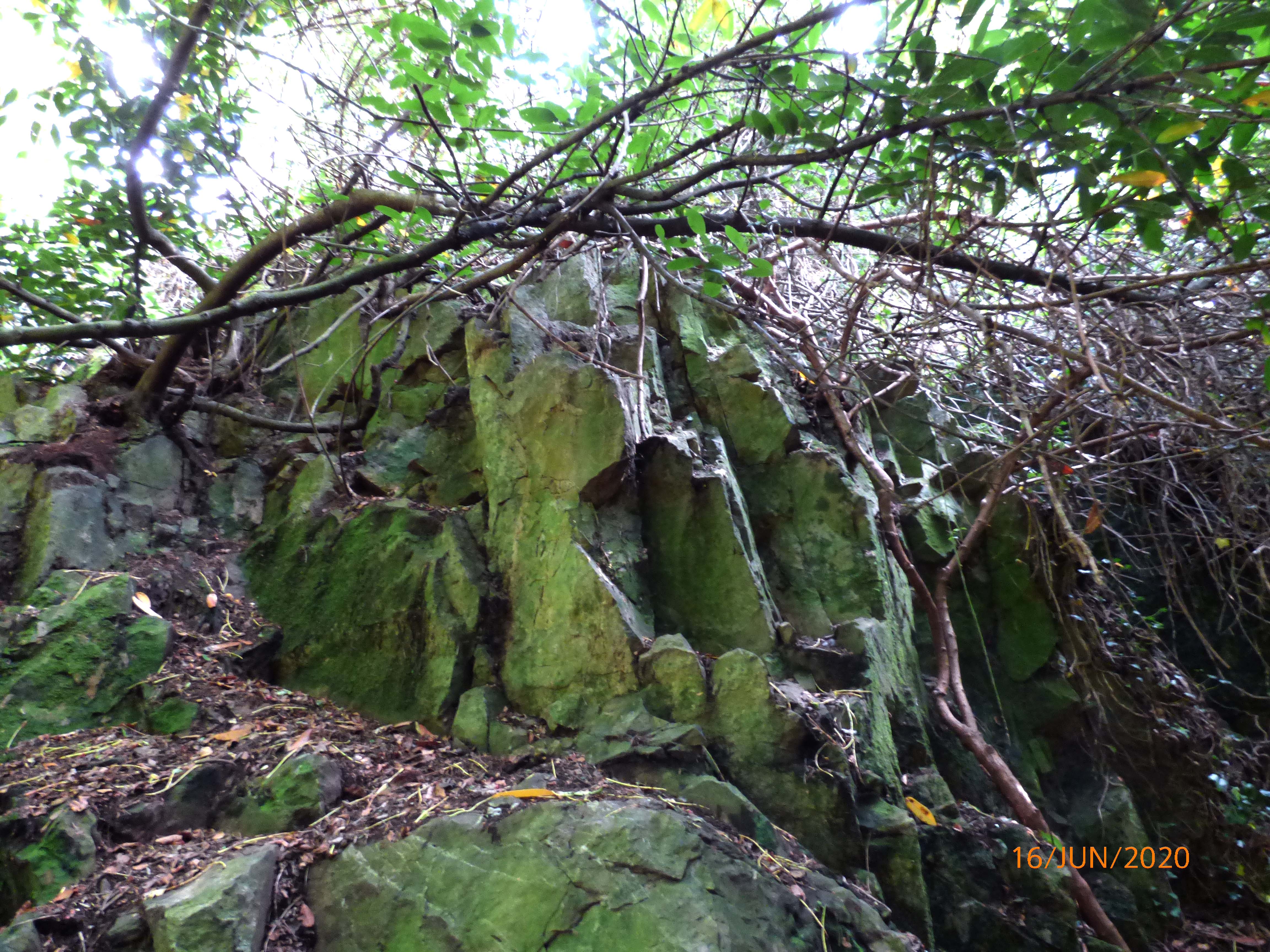
The location of the outcrop would also have been significant from a socio-economic standpoint. The early medieval crossing of the River Dargle (Fig. 2) would have been located at the western end of the modern river boardwalk, with a roadway leading from the present Maltings development up Mill Lane and across the modern junction onto Seapoint Road (Fig. 3). Therefore, the ‘Dearg ail’ outcrop (Fig. 4) would have overlooked the road into Cuala, making it a significant political symbol. The outcrop could also have functioned as a place of assembly, including for trade. Proximity to a feature known as the ‘hollow’ under the modern bridge piers (Fig. 5), which could have functioned as a river mooring point, would have greatly facilitated people gathering.
The early Irish saga, ‘Togail Bruidne Dá Derga’, or ‘the destruction of Da Dearga’s hostel’, may provide further evidence for the socio-political landscape of the ‘Dearga’. The premise of the saga is the death of the High King Conaire Mór at the hands of British raiders when he takes refuge in the ‘hostel’ of one of his client lords, Da Derga, after breaking all of his royal geasa (taboos). The hostel is described at various points throughout the saga as straddling the road through Cuala, as the lights from it are visible from the sea, and as being of sufficient size to encompass several doorways. (A translation of the saga is available online from UCC at this link.)
There have been several suggestions for the hostel’s location, such as by Henry Morris in 1935, but the locations suggested all seem too inland to account for its description. The best interpretation is probably that the saga was itself compiled based on the truncated remains of a group of buildings which straddled the road through Cuala. The density of construction remains straddling the road would suggest the arrangement of rooms described in the saga, and the several doorways into the ‘building’. The optimal place for the location of this ‘hostel’, in order to be visible from sea, is on the ridge (Fig. 6) occupied by the modern Loreto Secondary School, immediately north of the Vevay Road (Fig. 7).
This location would certainly explain why the saga writer noted the hostel lights could be seen out to sea by the raiders, and how the draught caused by the fire lighting of the king’s champion Mac Cecht, blows the raiding ships back out to sea. The name of the client lord in the saga, Da Derga, is probably a corruption of ‘Da Dearga’ or ‘the Red’. This epithet would made sense in terms of the naming of sept heads within medieval Irish culture, with the leader of a polity called ‘the Reds’ being known as ‘the Red’. It would also make sense that the political centre of such a figure would be close to an inauguration site, such as the ‘Dearg ail’, where they would have been confirmed in their position.
The ‘Deartech’
The saga, or at least stories associated with it, seem to have persisted even after the emergence of the ‘Bree’ place-name for the wider area. Its location is considered to be the site of a large ecclesiastical estate centre in the later 12th century AD, and which was known as ‘Deartech’. This place name may have been a corruption of ‘Dearg Tech’, or ‘the house/settlement of the Red’. Interestingly, a chapel known as Deargham is known to have been associated with the Deartech estate. This name may even have been a corruption of ‘Dearg ail’, indicating that a chapel could possibly have existed close to or on the site of the modern St Paul’s church.
Using the saga, we may also begin to ‘fill in’ some of the wider place names in the locality, such as the strand where the raiders landed – Fuirbthe (Morris places this north of Newcastle, Wicklow), and the height where they raise a cairn prior to the attack – Lecca cinn slebe (Morris interprets this as Two Step Mountain). But the place name Fuirbthe could more easily be assigned to the former Bray beach, before its 19th century development, and Lecca cinn slebe (properly Liocha cinn slebe), the ‘grey headed mountain’ would seem to be Bray Head (Fig. 8).
These are the only remaining elements of the landscape of the ‘Dearga’, but their tenacity in surviving the later cultural influences of Gaelic Irish, Hiberno Norse and Anglo and Cambro Norman settlers, is a testament to how deeply rooted the past they represent is in the locality.
This article is based on the research and views of David McIlreavy, Chairperson of the Medieval Bray Project.


No Comments
Add a comment about this page