")
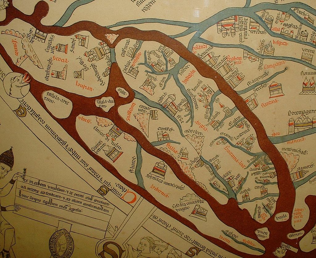
This is a portion of the Mappa Mundi which shows the United Kingdom and Ireland with place names in Norman French and Latin. This vellum cloth map of the world was completed in the 13/14th century. It is on display in the Hereford Cathedral and describes the world in spiritual and geographical terms. If you wish to explore further you can use this link.


No Comments
Add a comment about this page